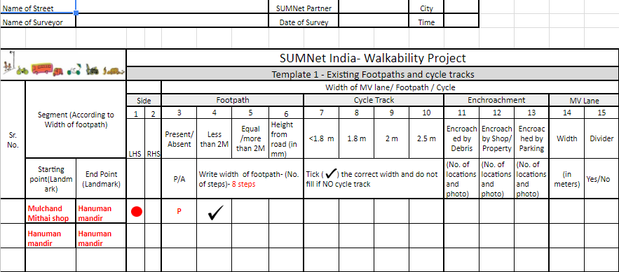
As part of the SUM Net Walkability Projects, a mapping exercise was carried out by our members in all the 11 cities. The exercise included filling templates for three different streets or roads. This is a new element in the SUM Net Project introduced this year which brings in the crucial aspect of urban design.
A common template was prepared by Urban Design team for SUM Net, and webinars were conducted to apprise the members about this exercise. Important data points were collected by our members for three different streets in all the SUM Net cities. This included information like footpaths, cycle tracks, parking, hawking and vending activities, utilities, bus stops, etc. A different mapping exercise was undertaken by our SUM Net partner in Nagpur who marked the cycling routes of working women in an area of Nagpur. Our partner in Mumbai also undertook a different exercise where the Station Area Circulation Mapping was done for the Dadar Station.
All the submitted templates were studied by the Urban Design team for SUM Net. After interaction with the concerned partner one street was selected out of the three which will be taken up by the partners for alternative design intervention and implementation.
